I've been renewing my interest in the
Flightgear flight simulator. And it turns
out there's a neat trick you can do with it.
Real-world aviation charts are expensive, as are most things that
are required by regulation and have only a monopoly provider. To the
flight simmer, though, there's another problem: the charts may not
exactly match the scenery built into the simulator.
So what one really wants for flight planning is a system to which one
can add one's own data (for airports, navigational aids, etc.), and
then plot directions and distances: if I want to be at this point,
what's the distance and bearing to that VOR-DME transmitter?
(In case it needs to be said: all this is not for real-world
aviation.)
Fortunately there's a system that can do that: the same Viking
software that I already use for planning walks and providing maps
during on-line RPGs. But can we take this a step further?
Specifically, Flightgear has an extensive system of diagnostics which
make the aircraft's current position available, and Viking can plot
the output of a GPS receiver…
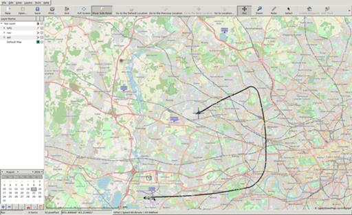
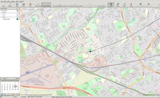
What's needed is an adaptor. So I wrote one. Using AnyEvent for
asynchronous operation, it interrogates Flightgear's httpd for
position information, converts the numbers, and allows connections to
an imitation gpsd; Viking then connects to that fake server and plots
positions.
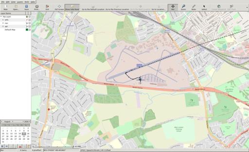
And it works!


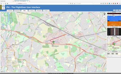
Of course, you might not find much use for this:

when Flightgear already gives you this:

but Viking can do more: I can add to it the navaids that are in the
scenery rather than in the current real-world data, I can rule off
distances and bearings, and I can save that track and export it as a
GPX file.
Once I've tidied this up a bit I'll release the code.
Comments on this post are now closed. If you have particular grounds for adding a late comment, comment on a more recent post quoting the URL of this one.