I've now done a Flightgear-simulated tour at "every" airport in the
United Kingdom.
Of course, "every" is a slippery term. The UK AIP lists all
airports open to the public, but all sorts of small farm and private
strips aren't in there. Meanwhile, the scenery file I'm using is a few
years old; it includes some airfields which have since closed (such as
EGSE Ipswich, now the Ravenswood housing estate in the real world),
while it's missing quite a few small strips that do still exist. In
the end I decided just to go with what was in the scenery file.
The airports and navaids and so on are stored in a format that is…
well, not exactly easily-parsed, but I've had years of practice from
when I was using X-Plane. The first step in getting back into this
thing was to write a program to do that parsing and dump the results
into an SQLite database, so I can easily run a query to find each
airfield within a given lat/long box. (Then, since the box includes
the Channel Islands, crop out the ones in France.)
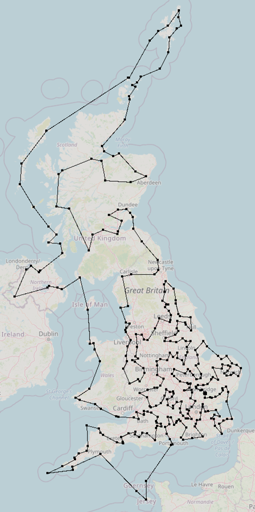
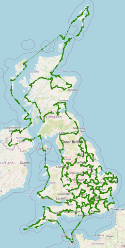
So that gave me a list of 333 airfields. The next question was the
order in which to visit them. Well, that's a standard sort of problem,
isn't it? Travelling Salesman, in fact. And it turns out that there
are standard services for solving such problems (including
NEOS), and
standard formats for submitting them in. So, since I already had a
bunch of lats and longs, I built a matrix of distances in the right
style (good old Geo::Ellipsoid makes this stuff trivial), submitted
them to NEOS, and in a few seconds got back an ordered list. Done!
Which gave me a circuit:
At that point, all I needed to do was choose a starting airfield
(naturally EGTB Wycombe Air Park, the one nearest to me) and
direction. And start flying… What this meant, of course, was that I
mostly did short hops, so much more of my time was spent in takeoffs
and landings than in cruises. (Except around the Scottish islands.)
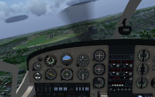
My aircraft for this trip was a Cessna
337 – decent
short-field capability, but light and responsive, with a usefully high
cruising speed for the longer legs. (The shortest runway I had to use
was, as it turned out, at the end of the second leg; EGLT Ascot
Heliport,
230 metres long. Very slow approach to minimise the energy that needs
to be shed through the brakes, and full flaps for takeoff…) Piston
engines, not turbines, but I wasn't going high enough for that to be a
problem.
Most of this was done under visual flight rules, which ended up giving
me a hierarchy of ways to find an airfield:
-
Is there a radio beacon actually on the field, or very near it? OK,
I simply aim for that, making allowance for high ground, excluded
areas, and so on.
-
Failing that, is there a major obvious terrain feature nearby? A
junction of rivers, a steep hill, a large lake, or a distinctive
shape of forest or built-up area? I'll follow the terrain, perhaps
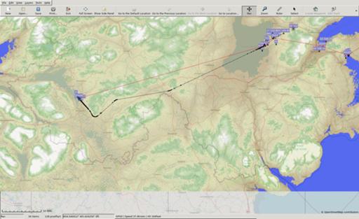
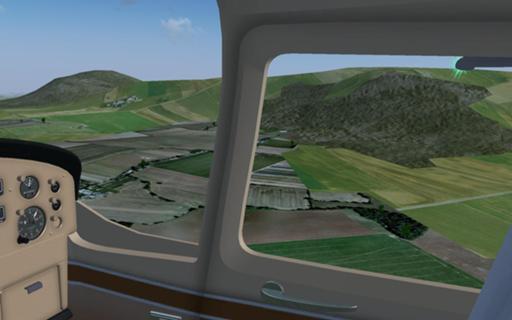
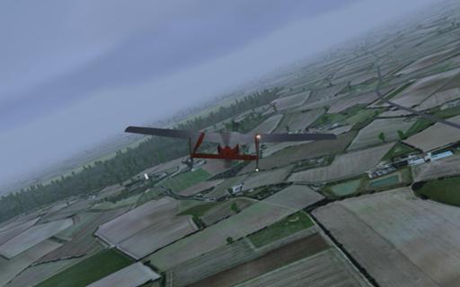
flying along a road or a valley. For example, here's my leg from
EGAL Langford Lodge to EGAB Enniskillen: red is the straight line
from airfield to airfield, while black is the route I actually flew.
Terrain height overlay is from SRTM data.
-
Failing that, is there a
VOR
reasonably nearby, preferably a VOR-DME? Then I'll fly along the
radial until I get to about the right distance. (But I don't have
good data on magnetic variation and this led me slightly astray a
few times.)
-
Worst case, I put my moving map into aircraft-tracking mode, so that
I have an arrow showing just where I virtually am, and use that for
navigation. Yeah, in the real world I'd have a GPS receiver and I
could do exactly this for every hop. But it feels too easy.
Once the field is in sight, of course, one enters the traffic pattern,
circles and lands.
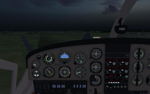
Mostly I flew during the day, but there were occasional legs where I
tried to beat the sunset. On approach to Lasham, near Basingstoke:
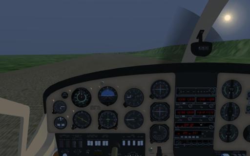
And later I was thinking about getting out of Lamb Holm, off Orkney,
but it was just too murky.
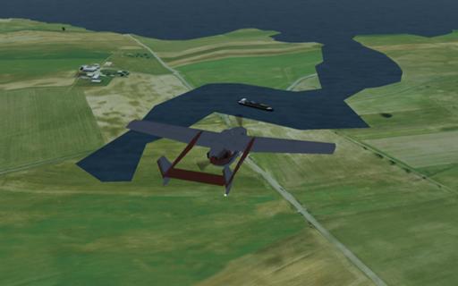
Shipping traffic is generated automatically. Once in a while it clumps
together. (Off the Cornish coast.)
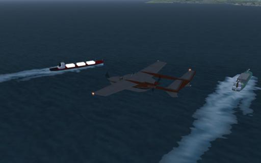
And sometimes it gets a little confused. (Near Aithsetter on
Shetland.)
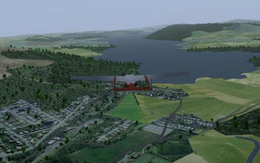
Welsh coast near RAF Valley, Llanfihangel yn Nhowyn in the foreground.
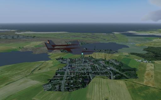
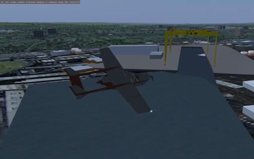
Most of the scenery is generic, but once in a while someone's put in a
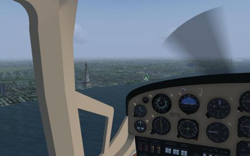
distinctive object or two. Here, of course, I'm over Belfast.
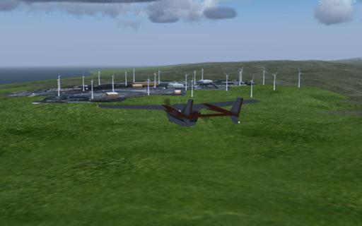
I don't know how accurate the wind farm placements are, but they're
handy for working out which way the wind is actually blowing… (North
of Campbeltown on the Kintyre Peninsula.)
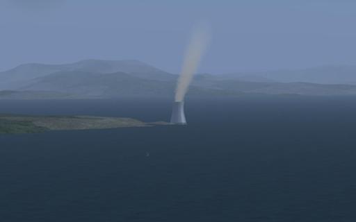
Weather closing in over the Western Isles. (Little Minch.)
Um. I don't think so? In the real world there is a lighthouse there
("Taigh-solais Eilean
Glas"), so
perhaps that tripped some automated "tall structure" test…
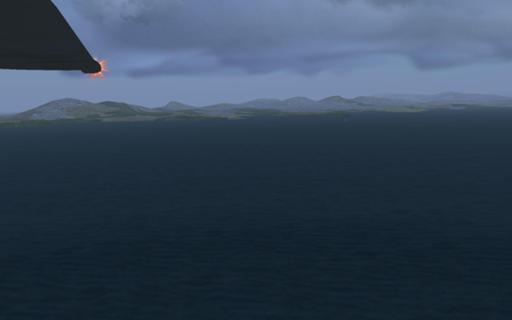
Foula emerges from the mist.
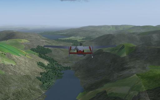
Climbing out of some pleasingly bumpy terrain near Loch Insh.
On the way south: Eigg, and Rùm behind it.
Following the valleys: Lock Eck, towards the Firth of Clyde. (Gareloch
is two valleys to the left.)
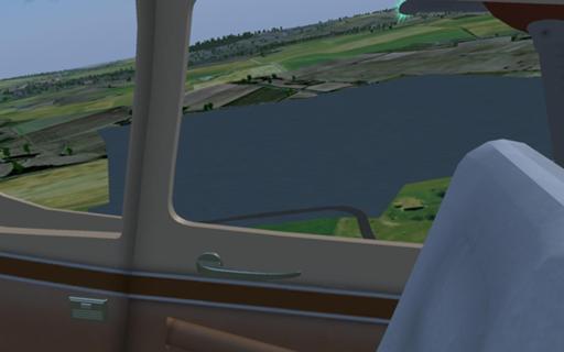
Following a different valley: Windermere, about to cross Ambleside and
Waterhead.
On approach to Glasgow Airport (as distinct from the superfluous
Prestwick).
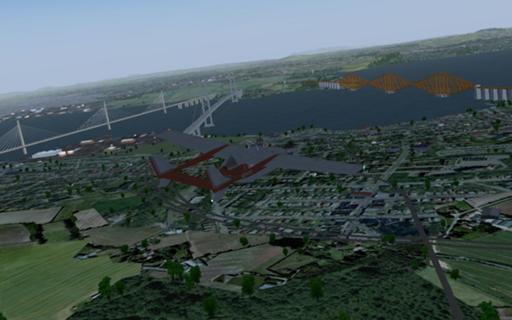
On the way in to Edinburgh, with the Queensferry Crossing, Forth Road
Bridge and Forth Bridge all visible.
A lumpy bit near Loch Leven.
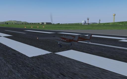
Landed at Leuchars.
Over Morecambe Bay, picking Barrow-in-Furness out of the haze.
Blackpool Tower and a generic Ferris wheel.
One of the few lumpy bits in England. (Actually, that's cheating: I'm
in Shropshire here, but the lumps are all across the border in Powys.)
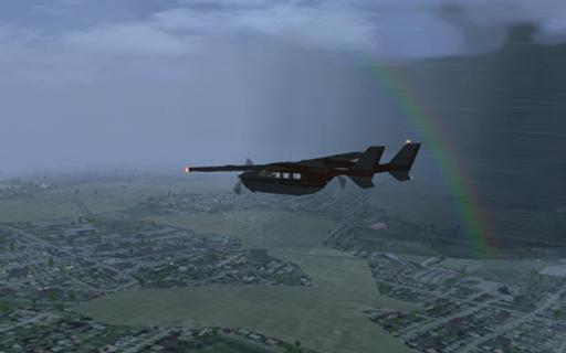
An unexpected rainbow while passing Huddersfield.
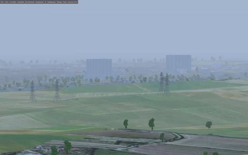
So much of southern English terrain is like this. Varied, sure, and
you can find your way by the roads and the shapes of the woodland, but
it's so flat. (Near Market Weighton, outside Hull.) I knew this from
maps, but looking at it makes it much more obvious.
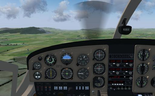
In an upgrade since I last had much to do with this software, runways
are not necessarily modelled as dead smooth. (Former RAF Sandtoft.)
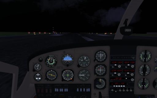
Sunset can be very sudden in Lincolnshire. But ILS can get you home.
(RAF Scampton.)
Nearly home again: the M40 running up the Chiltern escarpment.

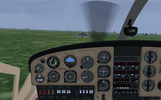
The Wilstone reservoir, a useful landmark for lining up on runway 25
at Halton.
Nearly back to base! Wycombe in the Wye Valley, about to turn right to
line up for the Air Park.
Total flying time was about 45 hours, with 5,861 nautical miles
covered (roughly; sometimes I didn't have the logger running at
takeoff, and sometimes I started it before I taxied out to the
runway); the optimal solution was 4,407 miles, but that would be
straight lines from airfield to airfield, and at the very least I had
to line up with runways.
I've now got quite familiar with this simulated Cessna. Time to do the
same thing again with a different aircraft somewhere else…
Comments on this post are now closed. If you have particular grounds for adding a late comment, comment on a more recent post quoting the URL of this one.